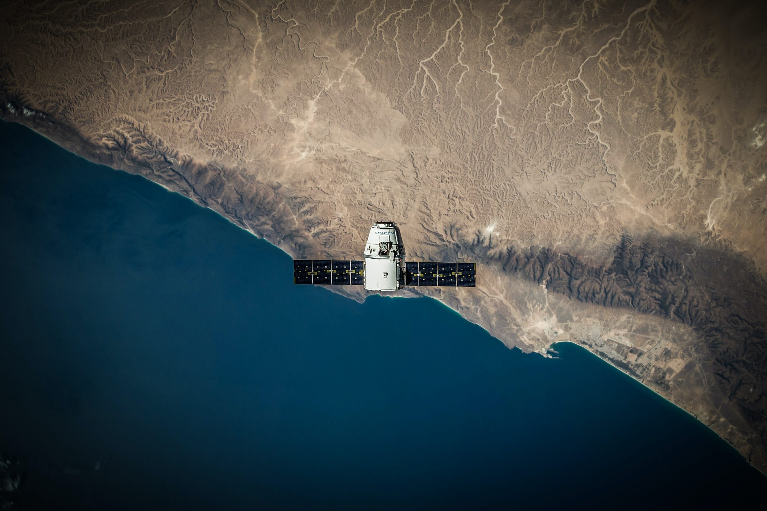
In 1957, the world witnessed the launch of the first satellite into the orbit of the earth. Following soon in early 1960s, there were more successful launches of satellites aimed at other purposes such as weather forecast, and communication. Data acquired from these satellites were successfully used for weather prediction, monitoring global environmental conditions, and geographical and geological applications. Satellites have the unique advantage of covering large areas from virtually anywhere including inaccessible areas which were otherwise too remote, dangerous, or expensive to reach. This in turn made them extremely valuable for continuous monitoring and for other specialized tasks for military operations. Over the past decades, spatial and temporal resolutions of images obtained from satellites improved significantly; allowing us to obtain satellite images of sub-meter accuracy in an hourly basis.
Both low- and high-resolution images can be used depending on the specific application of interest. The lower-resolution images with pixel sizes of more than 10 m are useful for applications such as environmental assessment, and mapping, forestry management, disaster assessment and urban monitoring. In contrast, images of high-resolution data with ground pixel of less than 5 m provide detailed information of very small objects on the earth surface such as buildings, streets, rivers, trees, crops, cars and sometimes even trash which are useful for various applications such as transportation, network mapping, disaster management, urban planning, and farming.

Recent advances in computing power and image processing techniques opened an opportunity for the efficient utilization of such high-resolution images for the benefit of government entities and citizens alike. Coupled with Artificial Intelligence and Computer Vision, it is now possible to extract crucial information in a timely manner. The main challenge is to be able to craft solutions that are representative for the specific region of interest. Another challenge that is the extraordinarily large file size of satellite imagery and data format being exclusively designed for geo-referenced images making Artificial Intelligence and Machine Learning applications quite difficult.
At Farmin, being a local company of UAE, we have a deep understanding of the UAE area and the surrounding MENA region. We have crafted AI algorithms that are specifically designed to work with the geological and urban features of the UAE. Through computer vision and AI, we can detect various objects that are of interest for UAE government entities from satellite data. Examples of such objects include: buildings, road segments, sand accumulation, and urban area boundaries which are important for municipalities, government agencies, rescue teams, military, and other civil agencies.
Indeed, the application of AI/remote sensing is not only limited to these entities. Other more complex solutions can also be crafted for automatically monitoring health of crops and soil content to help farmers, sustainably studying environmental changes and forecasting natural disasters. Additionally, city planners can utilize the power of AI/remote sensing to plan developments of new residential areas and facilitate the planning of new road networks and traffic studies. As large amounts of data become more feasible through improved data infrastructure and automated analysis techniques, more and more areas of applicability can be realized in the UAE and MENA region.
UAE has early realized the potentials of the Space Industry and Artificial Intelligence and has always been at the forefront of such visions. This includes building Mohammed Bin Rashed Space Center and UAE Space Agency as well as having the first Arab Astronaut and launching a mission to the Moon and Mars. On the other side, UAE was the first to have a minster of Artificial Intelligence which reflects a deep understanding of the uniqueness and importance of this field. In Farmin, we plan to build on the UAE vision to become a leader in AI and Remote Sensing applications for the benefit and wellbeing of the UAE citizens.
This blog is best concluded by a tweet from H.H. Sheikh Mohammed Bin Rashed “The UAE’s ambition in the space sector explores, plans and makes the future. Our youth, engineers and pioneers open new horizons in the science, technology and innovation fields in this vital sector for the future of our world.”